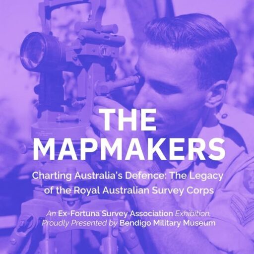
The Map Makers of Bendigo Who Charted Australia’s Defence

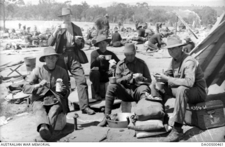
Only months after the fall of Singapore and as northern Australia came under repeated aerial attack from Japanese aircraft, a secretive unit of the Australian armed forces moved into an abandoned Gold Rush Era mansion in central Victoria.
The unit’s work would be critical to the defence of Australia.
The Royal Australian Survey Corps operated out of Fortuna Villa in Bendigo from 11 June 1942 and went on to produce more than 20 million printed maps and charts, including mapping used to retake the Philippines in 1945. Following the war the regiment completed mapping of Papua New Guinea, Indonesia and other Pacific countries before providing significant support to Allied forces in the Vietnam War.
The regiment also assisted in emergency responses, including during the rebuilding of Darwin after Cyclone Tracy.
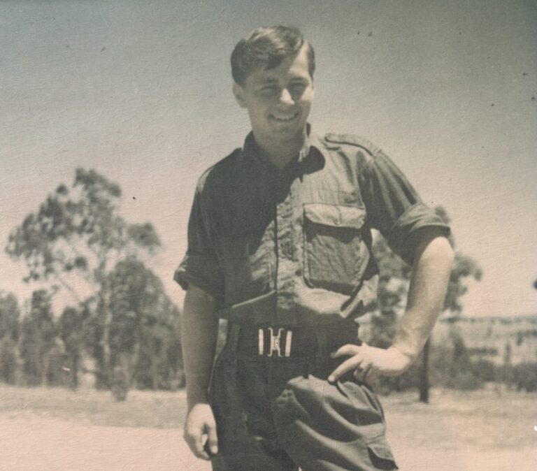
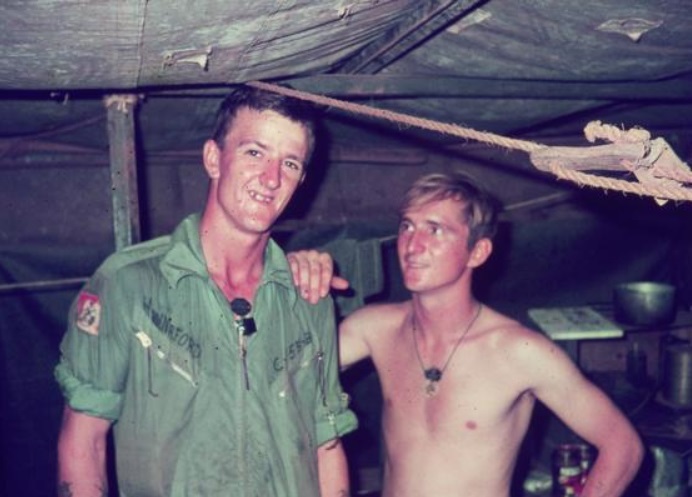
Gary Warnest, a volunteer with Bendigo RSL Sub-Branch and President of the ex-Fortuna Association, joined the Army Headquarters Survey Regiment, as it was then called, in 1970 as a sapper. Over the next twenty-six years he would rise through the ranks to be a Captain and Officer in Charge. He bore witness to rapidly changing technology, with surveys completed manually in the early years and fully digital by the time he retired in 1996.
“I had a wonderful career with the Survey Regiment, it was very satisfying work,” Gary Warnest said. “We were the smallest corps in the army so the people who worked there became a close-knit family. But having said that, the regiment was closely connected to the Bendigo community.”
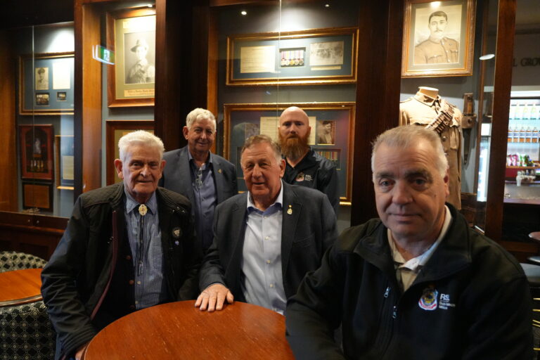
To mark the 110th anniversary of the regiment, Gary Warnest is organising a reunion which will see more than 400 former members gather in Bendigo in July 2025.
“I wanted to have something on display for the reunion,” Gary said. “The idea was to have an exhibition which told the story of the regiment so the people of Bendigo could get a better understanding of what we were doing up there.”
The exhibition tells in chronological order the history of the Regiment, from its founding in 1915 as the Army Survey Corps, only weeks after the landings at Gallipoli, through its move to Fortuna Villa in 1942 until it was disbanded in November 1996.
“What I find most interesting about the exhibition is that it is an insight into a part of Bendigo’s history that very few people know about,” Dell Winser said, curator for Bendigo Military Museum. “The mapping work they did was obviously secret, so it is not something the community got to know a lot about.”
The exhibition features original survey and cartography equipment, maps, uniforms and oral histories filmed for the exhibition of the people that worked there.
“My personal favourite is the ‘Mess Dress’,” Dell Winser said. “It is a colourful red and purple uniform used at official dinners that really stands out.”
“One thing that is often overlooked is the importance the regiment had to the community of Bendigo,” Gary Warnest said. “The people who worked at Fortuna Villa liked to organise things, and they took those skills into the community. They ran sporting groups like table tennis and brought new sports into the town like rugby, basketball and volleyball, The regiment at Fortuna Villa was part of Bendigo and Bendigo was part of it. We have tried to reflect that in the exhibition.”
Entry to the “Mapmakers” exhibition at Bendigo Military Museum is $12. The exhibition is open every Wednesday, Saturday and Sunday from 11:00am to 3:00pm until 10 August 2025.